Youngstown 2010 Plan
Chapter 3: Existing Land Use - 1951 and 1974 Plans
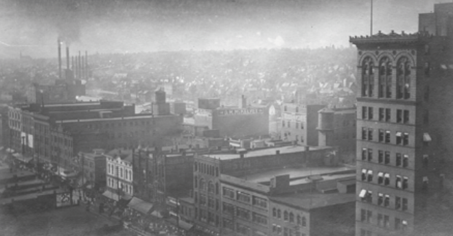
The planning process that was undertaken by the City of Youngstown in the early 1950s was based on the reality of that time. The Korean War was underway, reconstruction was ongoing in Europe and Japan and the demand for steel remained strong. Planners had no reason to doubt that the city would continue to grow and the steel industry would thrive.
Suburbanization had begun, but new tracts were still being built in the City. New retail centers were being constructed along high traffic corridors inside the City. Suburban plazas had yet to take root. Locally owned steel companies were still investing in local facilities and were seeking more industrial space.
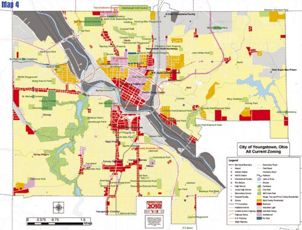
Planners were more than willing to set land aside for industrial expansion. With industrial growth, planners anticipated the City would attain a population of between 200,000 and 250,000. A population of this size, even at relatively high densities, would need an expansion of land set aside for residential growth. Residents would need more commercial opportunities than the built out downtown could supply, so planners increased land set aside for commercial use. Greenspace was not planned but was a permitted use in most zoning classifications. Land was set aside as neighborhood parks. Green space, planned or residual, also served as a buffer between conflicting land uses. The zoning ordinance that was the legal document behind the 1951 plan was updated in 1969. The plan itself was updated in 1974. The zoning ordinance has been updated continuously since its adoption. The zoning map (see Map 4) is the graphic representation of the land use patterns dictated by the 1951 and 1974 plans.
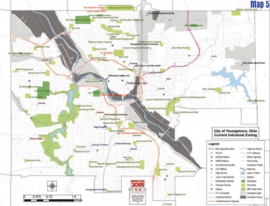
Industrial
There are currently approximately 3,900 acres of land set aside in Youngstown for industrial use. The vision of the heavy industrial past is evident in the 1,700 acres of land zoned for heavy industry. These are the former sites of integrated steel production. The 2,200 acres of light industrial land represent some current industry along with brownfields and greenfields set aside for expansion that never came (see Map 5).
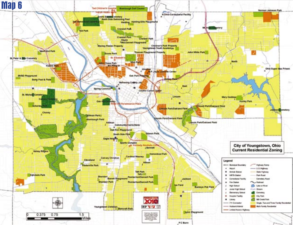
Residential
The current zoning map (see Map 6) shows that other than the historic industrial corridors and commercial gateway routes, the bulk of the City is planned for residential development. The expectation of huge population growth is evident in the expanse of residentially zoned land. Nearly 12,000 acres were set aside for single, two and three-family residential units. Another 720 acres were allocated for multifamily residential. As was the case with industrial land, much of the residentially zoned land remained in a green field state as suburbanization usurped new housing demand from the City.
Commercial
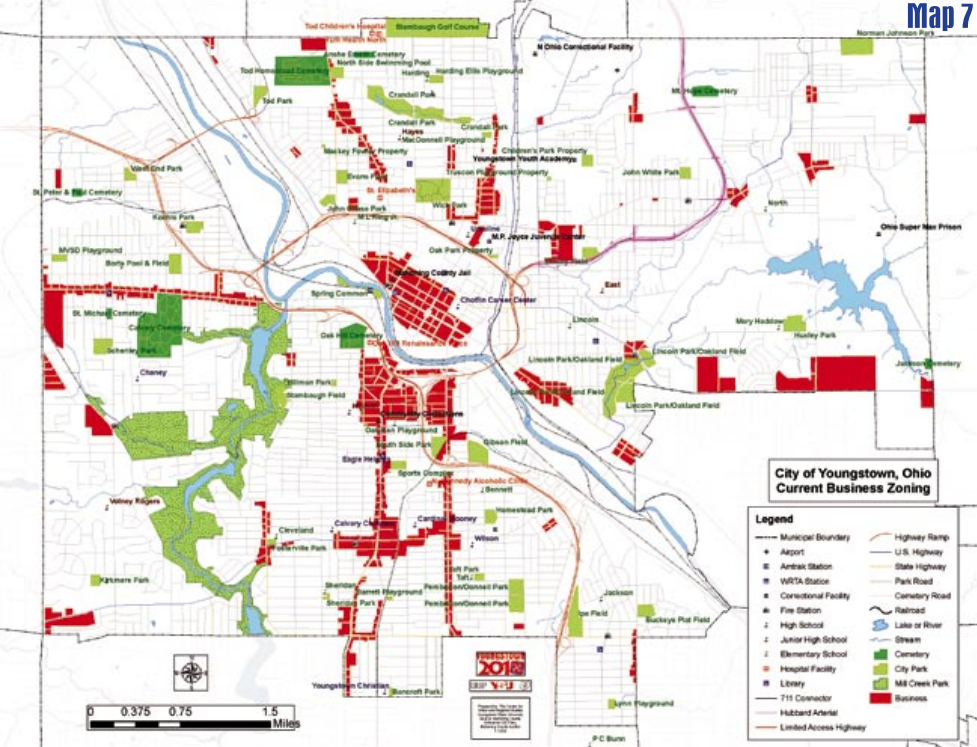
The 1951 and 1974 plans (current zoning in 2005) have left Youngstown with 1,260 acres set aside for commercial use. These plans predated mass retail migration to the suburbs and were extremely optimistic concerning commerce in the City. Commercial land was set aside along all the major corridors into the City, downtown, and at selected key locations around town (see Map 7). Prior to suburban expansion in the late 1950s this was a reasonable assumption. By 1974 this logic for retail was suspect.
Institutional
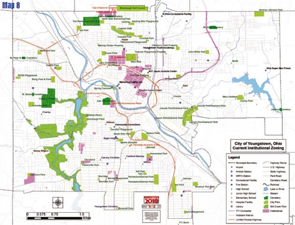
Institutional land use generally is set aside for the cultural, governmental and educational aspects of a given society. The zoning ordinance has a list of uses allowed in an institutionally zoned district, but institutional uses are also allowed in other zoning classifications. Examinations of the old plans show that institutional zoning (see Map 8) is reserved for expansive developments and not required for each individual church or school. This means that there is more land in institutional use than is reflected in the plan. The zoning ordinance sets aside 460 acres for strictly institutional use. The largest agglomeration of institutional use was along the border of the Downtown and North Side planning districts. Included in this grouping, among others, are Youngstown State University, St. Elizabeth Medical Center, Park Vista, the Our Lady of Mt. Carmel complex and the Mahoning County Martin Joyce Juvenile Justice Center. Other medical facilities and larger education and religious complexes were scattered throughout the City.
This resource is an abridged version of the Youngstown 2010 plan. You can access the full version in pdf format below.